 Catalogue PIGMA
Presence
Type of resources
Available actions
Topics
Keywords
Provided by
Representation types
Update frequencies
status
Scale
-
-
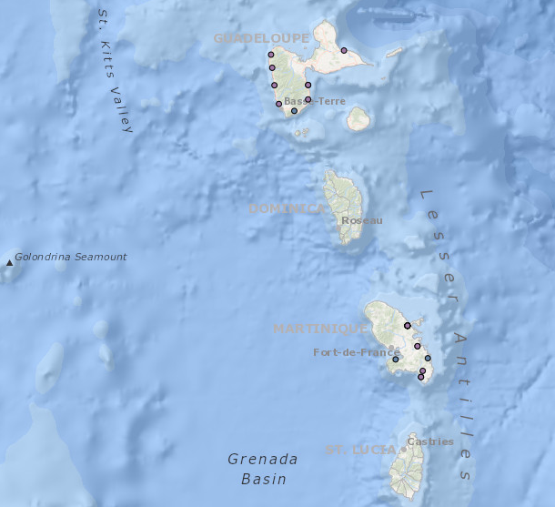
Occurrence data for marine mammals, birds and other marine megafauna collected by Megascope on fishing and oceanographic surveys (date, position, species).
-
Occurrence data of strandings of marine mammals collected by the correspondents of the National Stranding Network (date, position, species) in metropolitan France in 2014-2020.
-
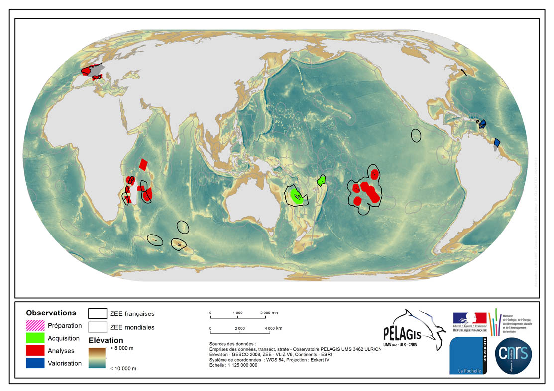
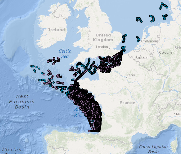
The associated data highlights the spatial influence of the dataset of the type “Visual Observations from an Aerial Platform” from the PELAGIS Observatory. These ranges represent the different areas of study on which the PELAGIS observatory conducted campaigns of visual observations from aerial platforms. Each area of study is associated with at least one campaign, with observers and geographical sectors linked to that campaign. Each sector is associated with bathymetric strips and transects related to each of the strips, with a few exceptions for the Indian Ocean region. Description of fields and values of the attribute tables : (- field name, meaning : value, description of values) - region, area of study specific to the PELAGIS observatory PELAGIS : OI/FRM/ AGFR/SOP/SP, region_lbl - programme, associated programme of which the campaign is a part: REMMOA/PACOMM, REcensement de la Mégafaune Marine par Observation Aérienne/Programme d'Acquisition sur les Oiseaux et Mammifères Marins - idCampagne, abbreviated name of the data collection campaign: OI/SAMM/ ANT/SOP/PF/GUY, Campagne Océan Indien/Suivi Aérien de la Mégafaune Marine/Sud Ouest Pacifique/Polynésie Française/ Guyane française - progress, current state of the campaigns, from collection to scientific optimisation : Preparation/Acquisition/ Analysis/Enhancement, campaign being prepared/under acquisition/being analysed/data enhanced within the context of a scientific publication.
-
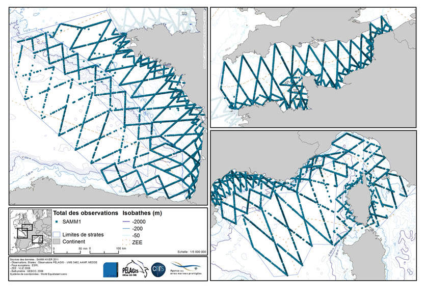
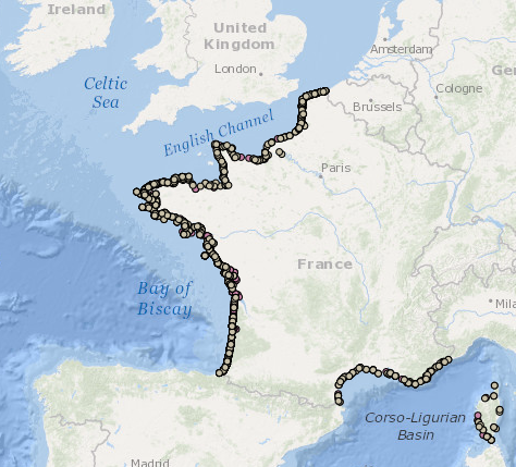
The associated data highlights the sampling programme for the data acquisition campaign of Observation on the Aerial Platform for the SAMM1campaign (Aerial Marine Megafauna Monitoring) conducted by the PELAGIS observatory.