Seabeds
Type of resources
Available actions
Topics
Keywords
Contact for the resource
Provided by
Years
Formats
Representation types
Update frequencies
status
Scale
-

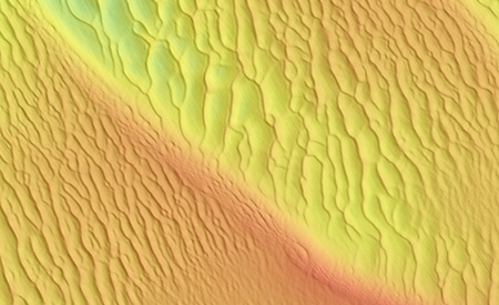
The objectives of the DUNES project are on the one hand to understand the sedimentary and ecosystem dynamics of underwater dunes, and on the other hand to provide technology developers and industrialists in the ORE sector with complementary knowledge and approaches to work in environments with hydraulic dunes. The expected results are first of all to have a better knowledge of the physical processes and the natural functioning of hydraulic dunes, to create a free access GIS dedicated to dune fields and sandbanks, to characterize on a fine scale of the structure of food webs in dunes to understand the functioning of these particular systems, and finally to establish methodological recommendations regarding the evaluation of anthropogenic impacts on dune ecosystems.
-

This document is a state of the art on marine dunes and their ecosystems. A first part details the characteristics of marine dunes, a second part summarizes the methods of in situ analysis and modeling of these marine dunes, a third part describes the ecosystems that compose them, a fourth part describes the human activities that impact them. In appendix, an atlas of marine dunes in France and in the world is established.
-

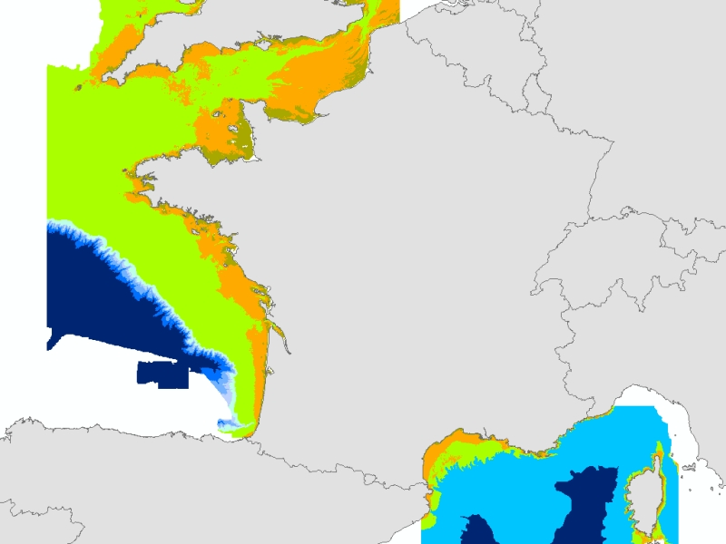
Theoretical Biological areas calculated from two meshed physical variables: bathymetry (resolution 100m), and attenuation of light in the water column (Kpar, resolution 250m). Coasts of mainland France. IFREMER Report "Hamdi Anouar, Vasquez Mickael, Populus Jacques (2010). Cartographie des habitats physiques Eunis - Côtes de France. IFREMER/AAMP agreement n° 09/12177764/FY. http://archimer.ifremer.fr/ doc/00026/13751/ "
-

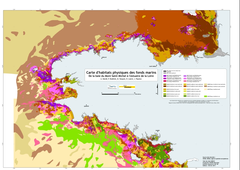
Eunis-classified physical habitats physiques resulting from the combination of three physical variables meshed at a resolution of 100 metres: nature of the substrates, biological area, shearing tension on the sea floor. Coasts of mainland France. Ifremer report "Hamdi Anouar, Vasquez Mickael, Populus Jacques (2010). Cartographie des habitats physiques Eunis - Côtes de France. Ifremer/AAMP agreement n° 09/12177764/FY. http://archimer.ifremer.fr/ doc/00026/13751/ "
-

Eunis-classified physical habitats physiques resulting from the combination of three physical variables meshed at a resolution of 100 metres: nature of the substrates, biological area, shearing tension on the sea floor. Coasts of mainland France. Ifremer report "Hamdi Anouar, Vasquez Mickael, Populus Jacques (2010). Cartographie des habitats physiques Eunis - Côtes de France. Ifremer/AAMP agreement n° 09/12177764/FY. http://archimer.ifremer.fr/ doc/00026/13751/ "
 Catalogue PIGMA