 Catalogue PIGMA
profile
Type of resources
Available actions
Topics
Keywords
Contact for the resource
Provided by
Years
Formats
-
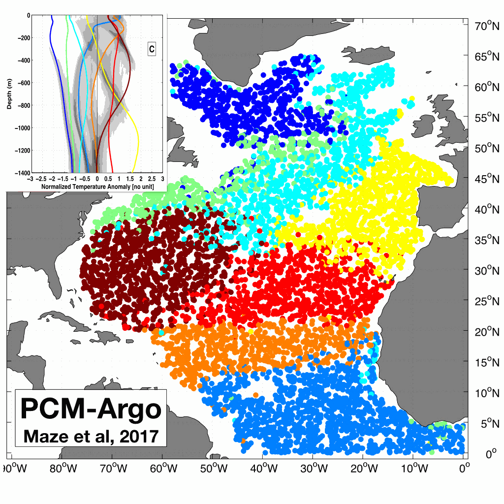
A quantitative understanding of the integrated ocean heat content depends on our ability to determine how heat is distributed in the ocean and what are the associated coherent patterns. This dataset contains the results of the Maze et al., 2017 (Prog. Oce.) study demonstrating how this can be achieved using unsupervised classification of Argo temperature profiles. The dataset contains: - A netcdf file with classification~results (labels and probabilities) and coordinates (lat/lon/time) of 100,684 Argo temperature profiles in North Atlantic. - A netcdf file with a Profile Classification Model (PCM) that can be used to classify new temperature profiles from observations or numerical models. The classification method used is a Gaussian Mixture Model that decomposes the Probability Density Function of the dataset into a weighted sum of Gaussian modes. North Atlantic Argo temperature profiles between 0 and 1400m depth were interpolated onto a regular 5m grid, then compressed using Principal Component Analysis and finally classified using a Gaussian Mixture Model. To use the netcdf PCM file to classify new data, you can checkout our PCM Matlab and Python toolbox here: https://github.com/obidam/pcm
-
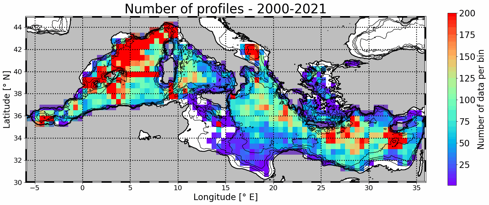
Mesoscale eddy detection from 2000 to 2021 are computed using the AMEDA algorithm applied on AVISO L4 absolute dynamic topography at 1/8th degree. Eddy numbers correspond to tracks referenced in the DYNED atlas (https://doi.org/10.14768/2019130201.2). Detection is based on AVISO delyed-time product from 2000 to 2019 and on day+6 near-real-time altimetry from 2020 to 2021. Colocalisation is then made with available in situ profiles from Coriolis Ocean Dataset for Reanalysis (CORA) delayed-time data (113486 profiles) and Copernicus near-real-time profiles (43567).