CATDS (CNES, IFREMER, CESBIO)
Type of resources
Available actions
Topics
Keywords
Contact for the resource
Provided by
Formats
Representation types
Scale
-
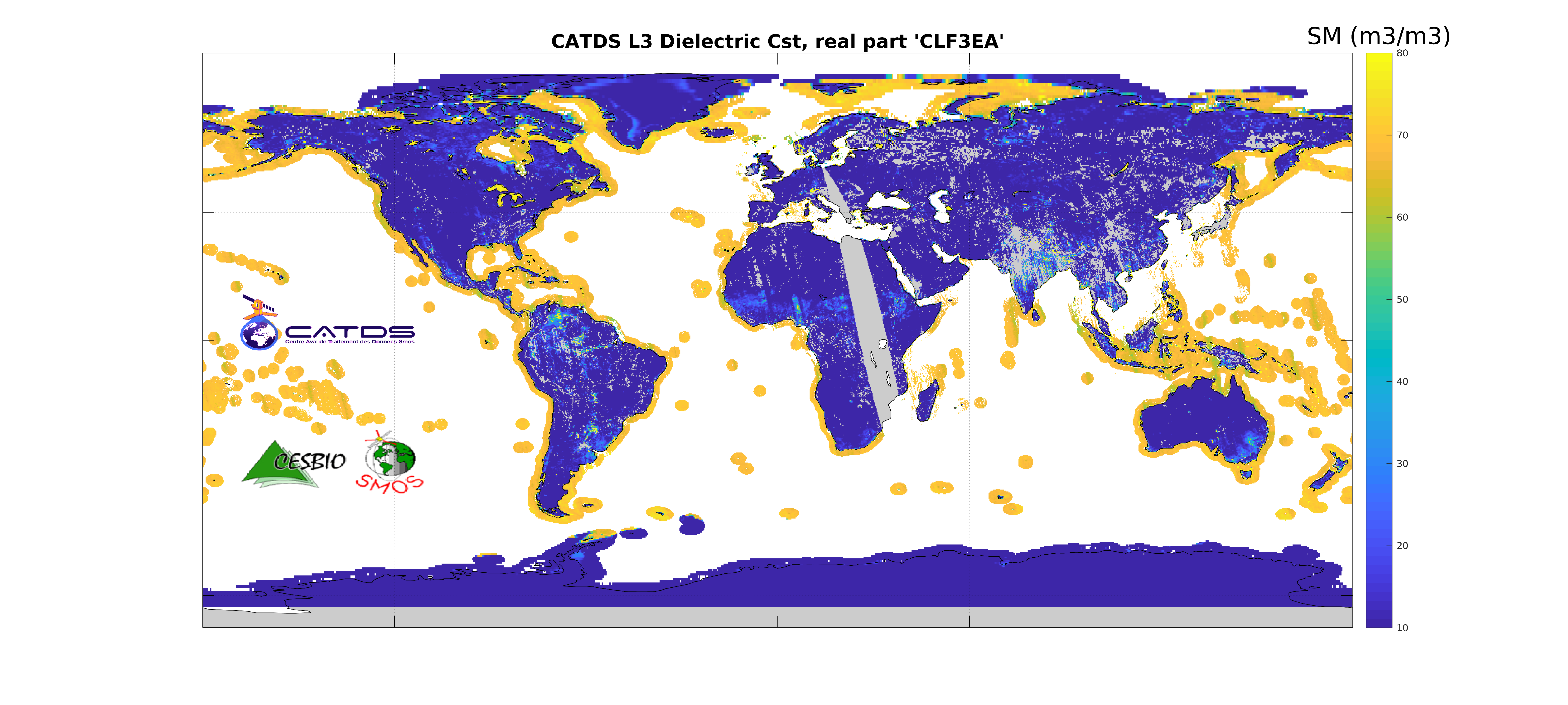
This product is an aggregation of daily maps of dielectric constant and its associated parameters over a 3 day moving window. The whole Earth's surface is covered in this 3-day product. Ascending and descending orbits are processed separately.
-
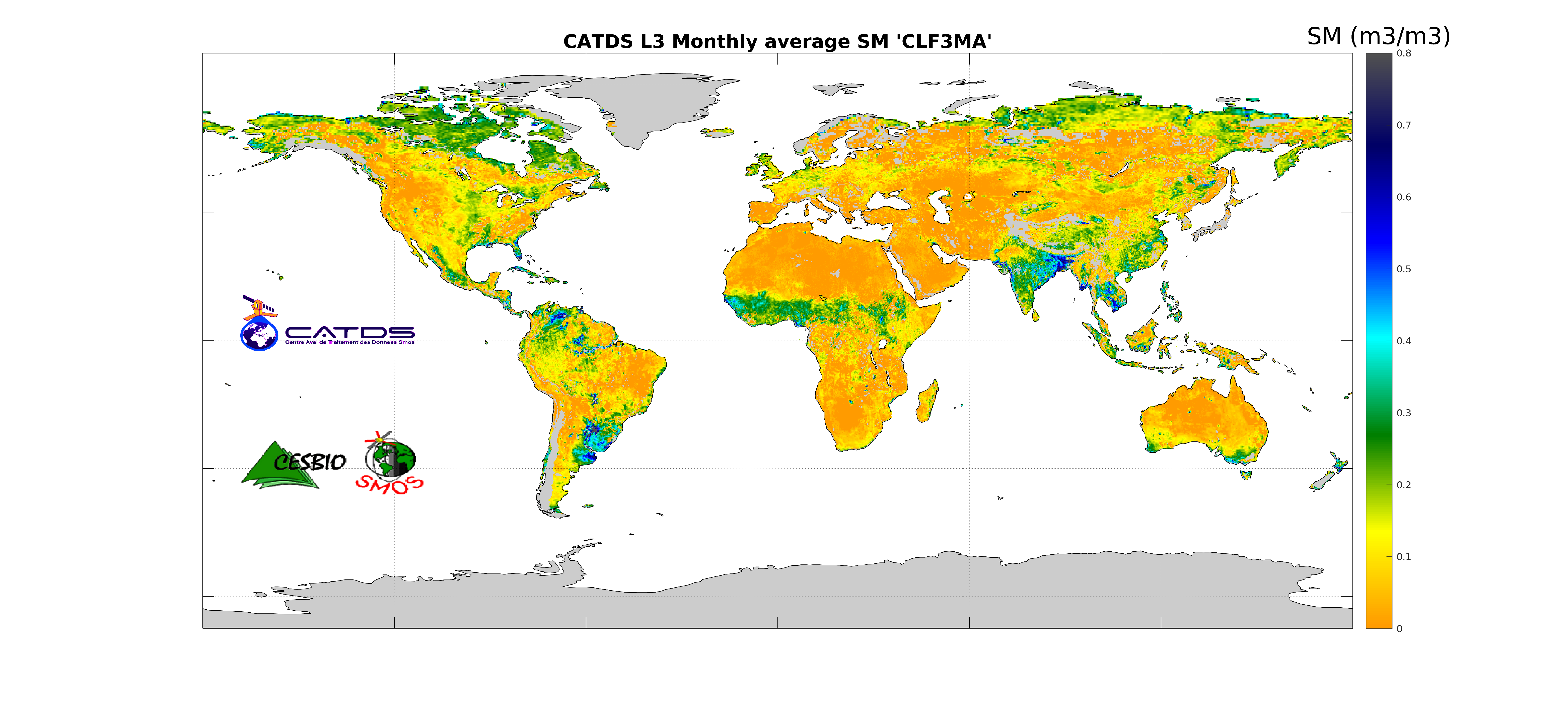
This product is an aggregation of daily maps of soil moisture, over a 3 day moving window, a decade or a month. Ascending and descending orbits are processed separately.
-
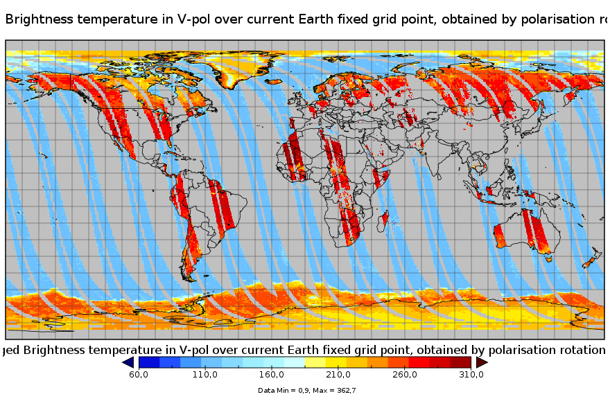
This product is a synthesis product of brightness temperatures for L-Band frequency. It includes all brightness temperatures acquired that very day by the SMOS satellite operating in full pol mode. Values correspond to those at the top of the atmosphere level, transformed to the ground polarisation reference frame, binned and averaged into fixed incidence angle classes. This product is available on each of the EASE2 grid projections (cylindrical and polar).
-
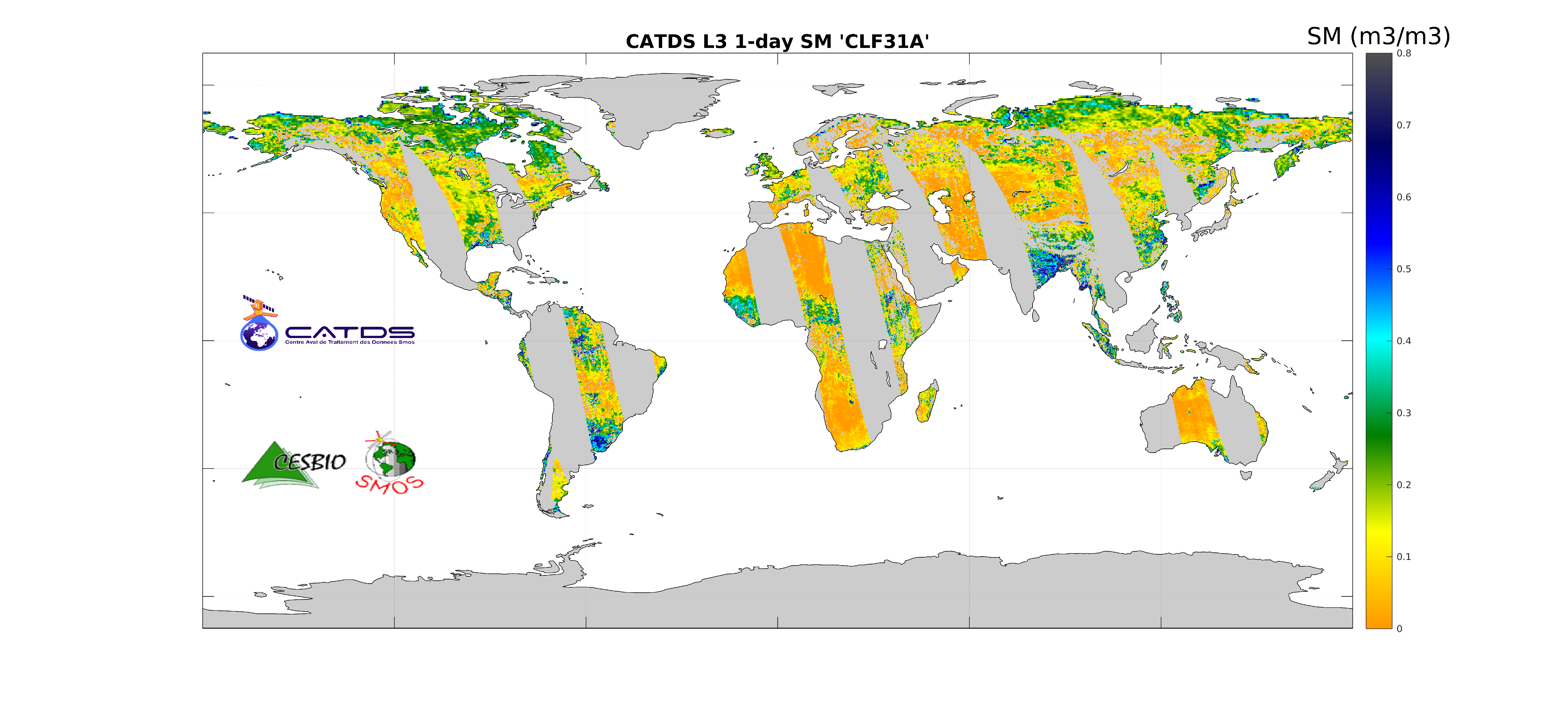
This product is the daily product of soil moisture. The retrievals are based on a multi-orbit retrieval algorithm. Ascending and descending orbits are processed separately.
-

This product is the daily product of soil moisture, and contains filtered data. The retrievals are based on a multi-orbit retrieval algorithm. A detection of freeze and snow is performed and added to the flags. Ascending and descending orbits are processed separately.
-
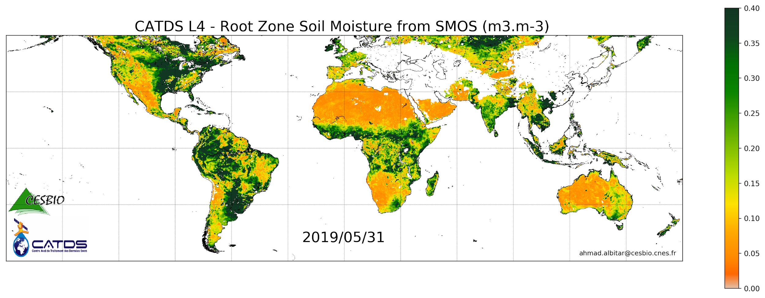
This product is a daily product of root zone soil moisture representative of the 0-1 m depth of the soil.
-
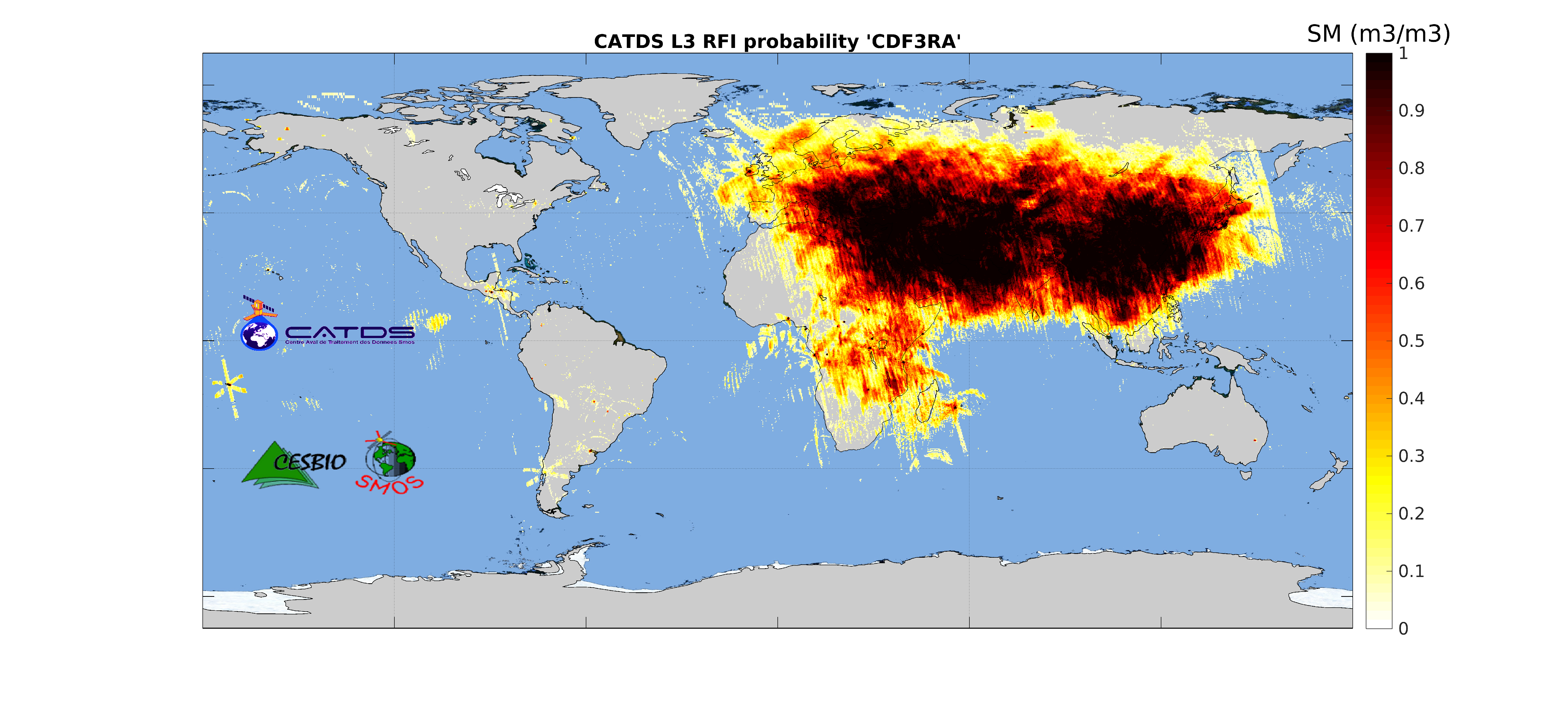
This product is radio frequency interference (RFI) probability for each angle bin computed daily and based on a monthly moving window average. Ascending and descending orbits are processed separately, and only in full polarization. ** This product is no longer available, see below **
 Catalogue PIGMA