geoscientificInformation
Type of resources
Available actions
Topics
Keywords
Contact for the resource
Provided by
Years
Formats
Representation types
Update frequencies
status
Scale
Resolution
-
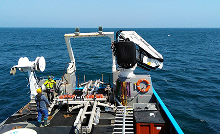
-- Warning, deliverable only available in French -- Delivrable D02.05 of the FEM PHYSIC 2015 project WP 2: Definition of the data acquisition strategy Task 2: Choice of measuring instruments
-

-- Warning, deliverable only available in French -- Delivrable D02.05 of the FEM PHYSIC 2015 project WP 2: Definition of the data acquisition strategy Task 2: Choice of measuring instruments
-
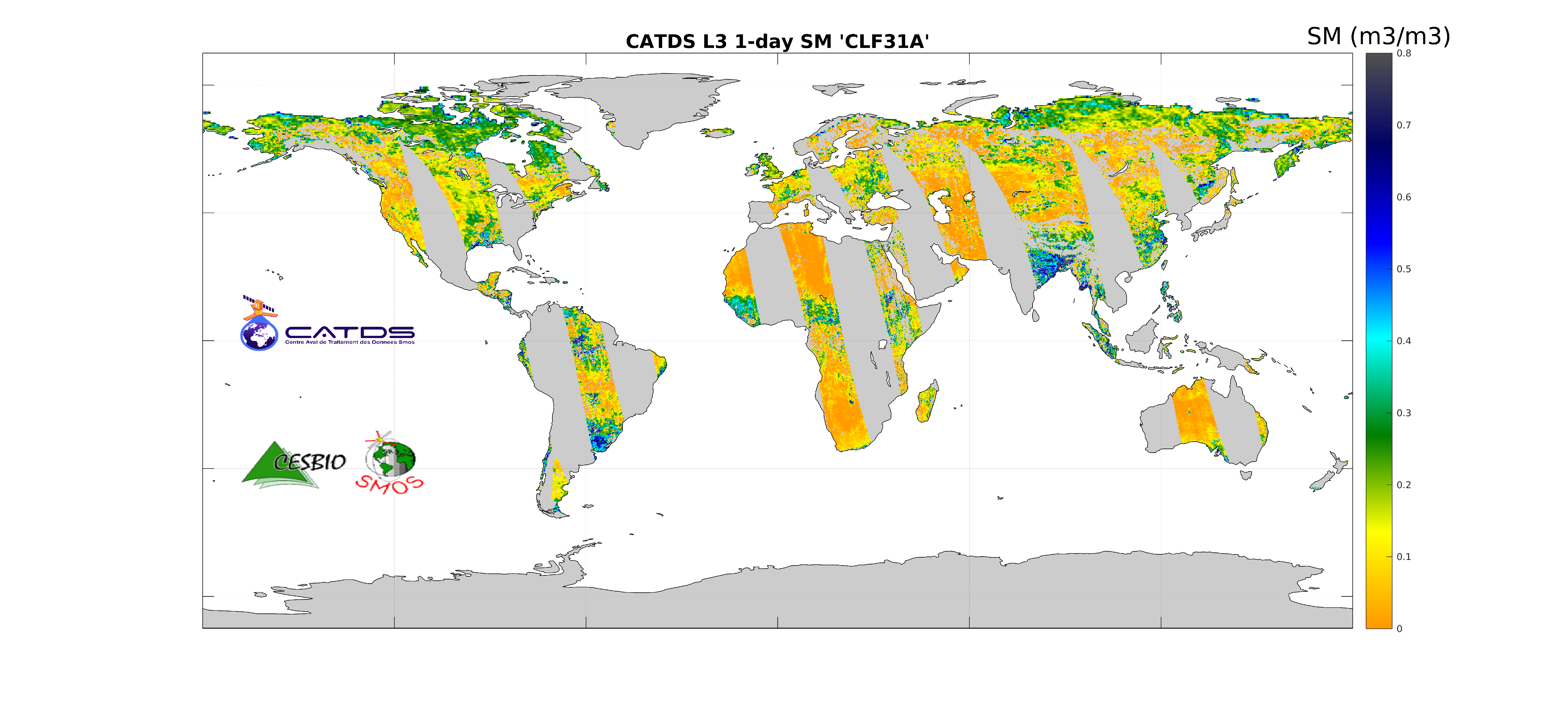
This product is the daily product of soil moisture, and contains filtered data. The retrievals are based on a multi-orbit retrieval algorithm. A detection of freeze and snow is performed and added to the flags. Ascending and descending orbits are processed separately.
-
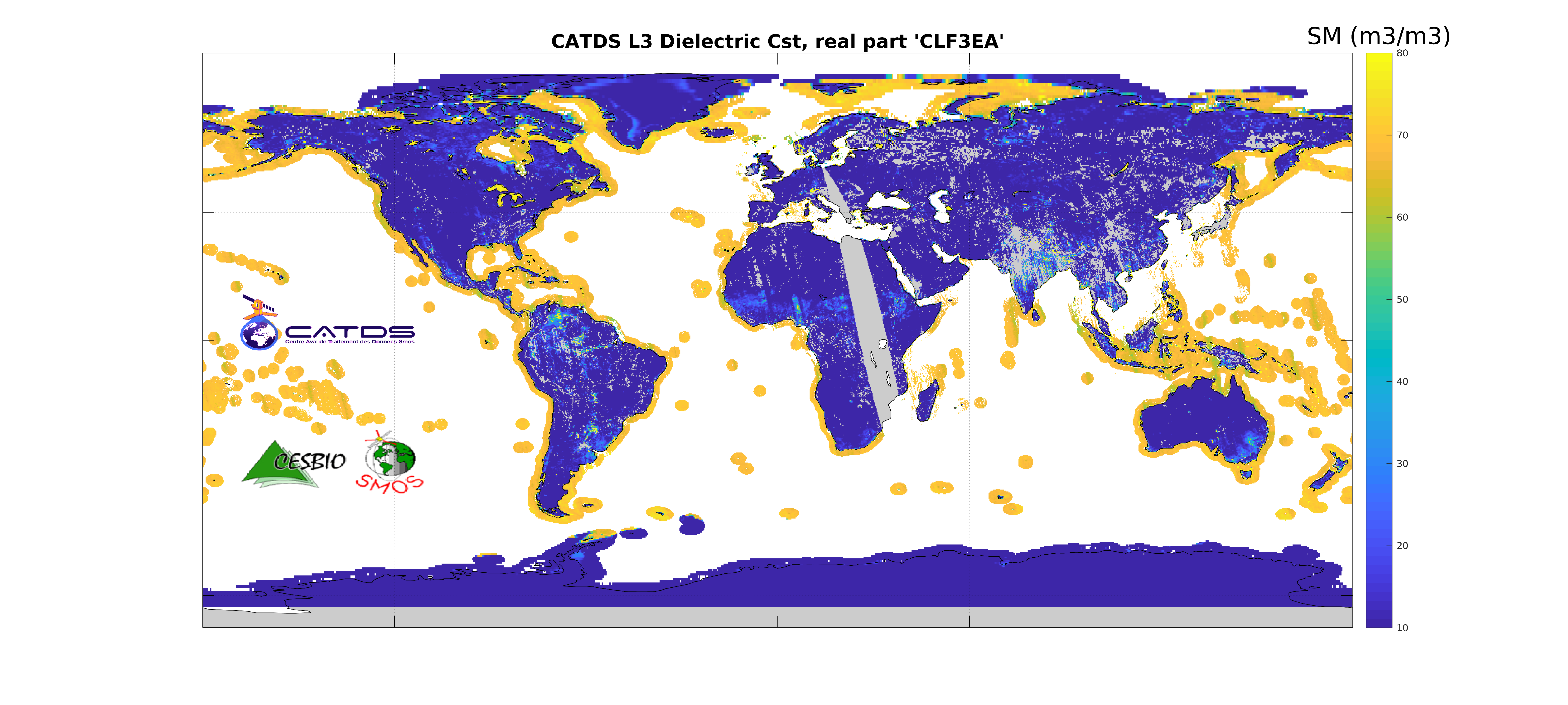
This product is an aggregation of daily maps of dielectric constant and its associated parameters over a 3 day moving window. The whole Earth's surface is covered in this 3-day product. Ascending and descending orbits are processed separately.
-
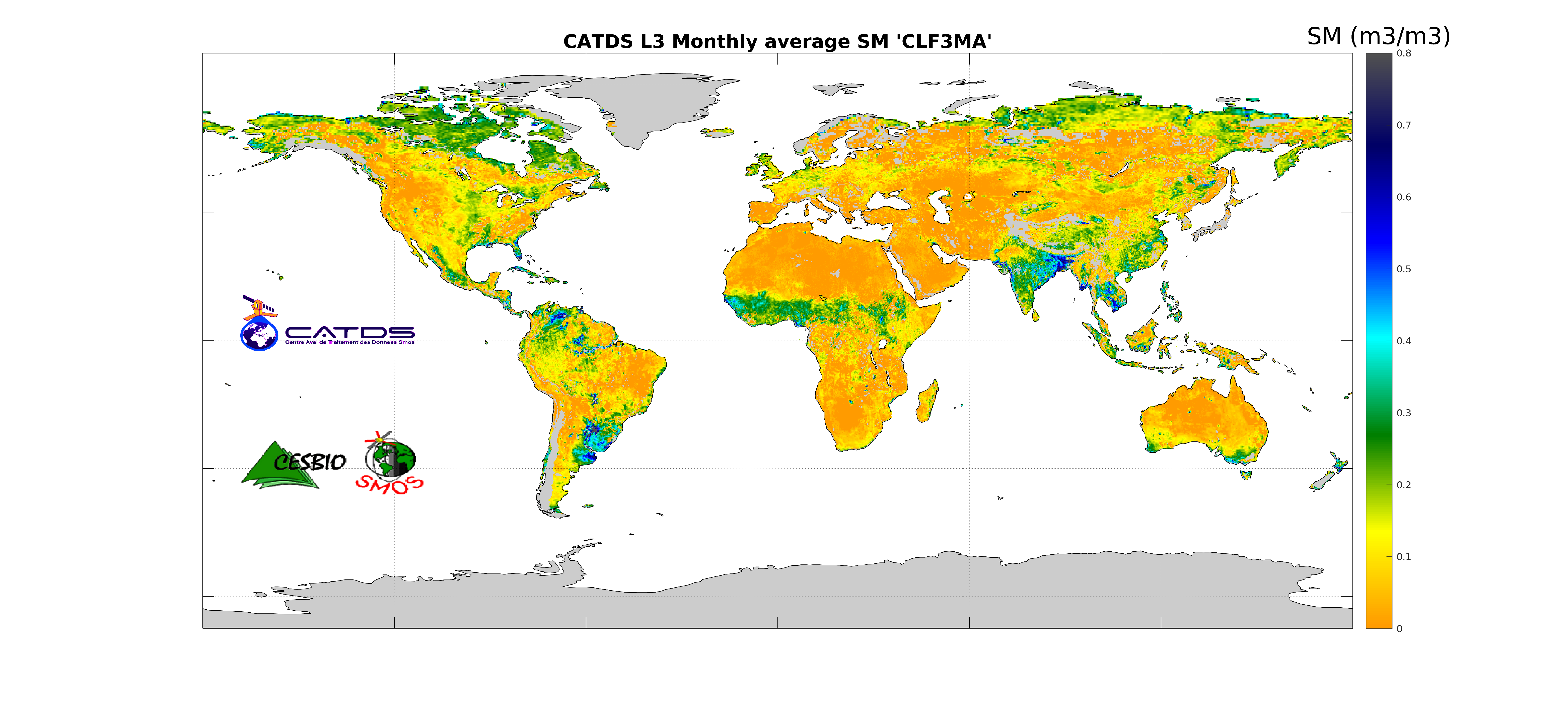
This product is an aggregation of daily maps of soil moisture, over a 3 day moving window, a decade or a month. Ascending and descending orbits are processed separately.
-
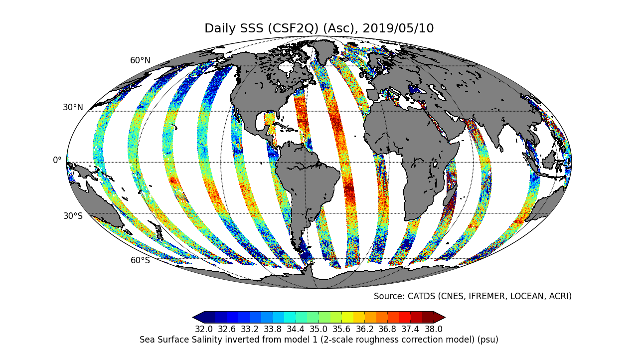
This product is an intermediate product, that provides, in daily files, SSS corrected from land-sea contamination and latitudinal bias. Ascending and descending orbits are processed separately
-

-- Warning, deliverable only available in French -- Deliverable D02.03 of the FEM PHYSIC 2015 project Lot 2: Definition of the data acquisition strategy Task 1: Synthesis of knowledge
-
Position théorique du trait de côte (pied de dune) estimée en 2020, sans les ouvrages (sauf ouvrages majeurs du Verdon, de l'Adour et de l'Artha à St-Jean-de-Luz), uniquement sur la côte sableuse. (métadonnée en cours)
-

-- Warning, deliverable only available in French -- Delivrable D02.05 of the FEM PHYSIC 2015 project WP 2: Definition of the data acquisition strategy Task 2: Choice of measuring instruments
-
Geomorphological analysis of the continental slope of the Mediterranean sea, based on a 100 m Data Terrain Model (DTM). This DTM is a synthesis of data acquired during several surveys. Bibliographic references :
 Catalogue PIGMA